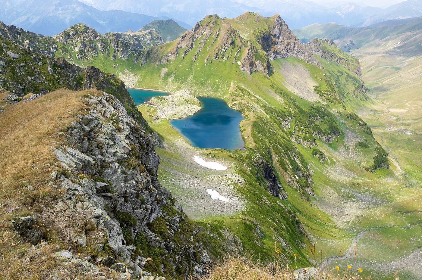

Surveys of high mountain regions show that lakes formed by melting glaciers are growing in number and size as the ice retreats further up valley floors. Researchers used satellite images spanning several decades, supported by field visits to the largest lakes, to map changes in surface area and water volume. Many new lakes sit behind loose rock dams left by the glacier, creating both a valuable water store and a potential flood hazard for communities downstream. Specialists following glacier lake expansion say monitoring is now a priority for mountain safety planning. A sudden breach after heavy rain or a landslide can release large volumes of water with little warning. Engineers are assessing which lakes need drainage channels, early warning systems or regular inspection. At the same time, the lakes affect local ecology, creating habitats for cold water species while changing river temperatures and sediment flows. Hydropower operators also watch the data closely, since glacier melt influences seasonal river levels that their reservoirs depend upon. The survey underlines how quickly familiar mountain landscapes are being reshaped.
What the Evidence Shows
Field teams measure lake depth with sonar from small boats and install sensors that transmit water levels to valley monitoring centres. That information feeds flood models used by emergency planners and infrastructure designers. Bridges, roads and hydropower intakes built decades ago may not reflect current risks, so updated maps have practical value beyond climate research. Local guides and residents contribute observations of new cracks, rockfalls and changing shorelines between surveys. Scientists are also studying how quickly vegetation colonises the exposed land left by retreating ice. Those new slopes can stabilise over time, but initially they are vulnerable to erosion during storms. International cooperation matters because many glacier systems cross national borders and feed major rivers shared by millions of people. Funding for monitoring remains modest compared with the costs of flood damage. The researchers argue that measurement shared openly is a cost effective way to help mountain communities adapt to a landscape that will keep changing for decades. Reporting and analysis from sources such as NASA track the same developments, and specialists following glacier lake expansion say the direction is now consistent across independent lines of evidence.
The Wider Context
Funding bodies are watching glacier lake expansion closely because the work sits at the junction of basic curiosity and practical return. Grant panels increasingly ask for a path from discovery to application, while researchers push back that the most valuable uses of fundamental science are rarely the ones written into the original proposal. The tension is productive when both sides stay honest about timescales.
What Happens Next
The long view on glacier lake expansion is that fields advance by accumulation rather than by single announcements. This result adds a solid, checkable piece to a structure many teams are building, and its authors have shared their data so the piece can be tested from every side. That is how the picture eventually becomes reliable enough to act on. You can follow related developments in our coverage of science.
It is also worth remembering how quickly the picture in this area has changed before. Positions that looked settled a few years ago have been revised as new data arrived, and the same humility is appropriate now. The strongest coverage of this subject, and the most useful advice, tends to come from sources that update their views openly when the facts move, rather than defending an earlier position long after it has stopped fitting the evidence available.